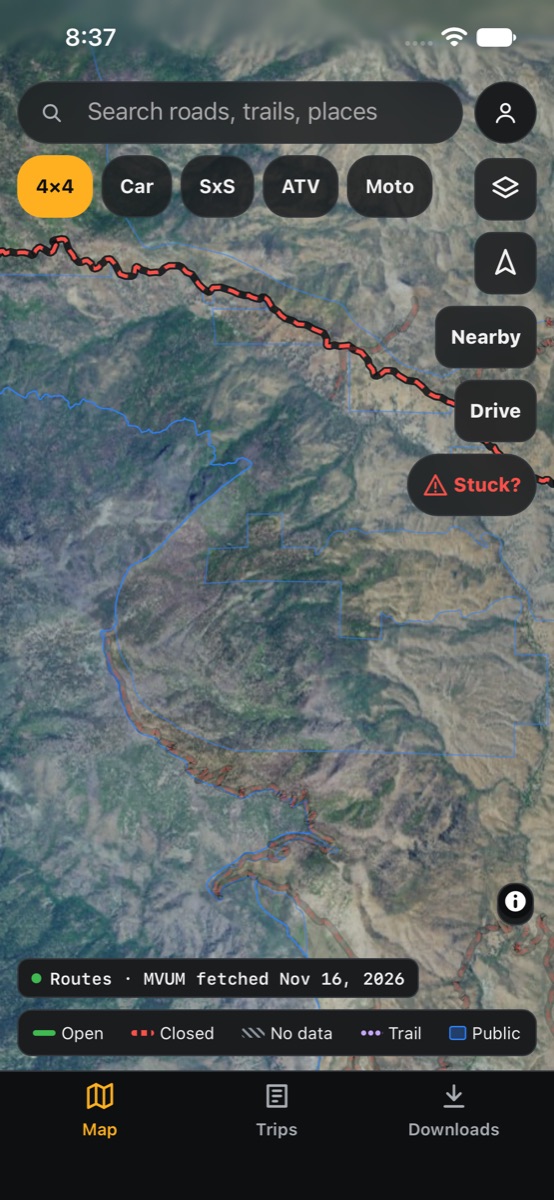
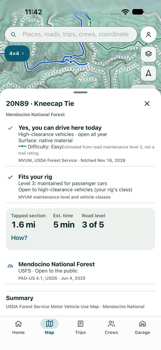
The first line of every road sheet is an answer for your rig on your trip date: open, closed for the season, not open to your vehicle, or no data here.
How it works
Pick your vehicle
Choose 4x4, car, side-by-side, ATV or motorcycle and the map recolors for you. Side-by-sides and ATVs enter a width, because some trails are open only to vehicles 50 inches or narrower.
Pick your date
Drag the date slider to any day in the next 12 months and seasonal closures recolor. Plan a November trip in July and see what will be shut.
Closure orders win
Forest Service closure orders override the base map and show their order number and date.
Dated, always
Every answer shows how old its data is. See where it comes from on our sources page.
No data is never "closed"
Where we have no data, the road is hatched grey and Turnout tells you to check with the ranger district. It never guesses.
Works with no signal
The answers are worked out on your phone from the map data you downloaded.